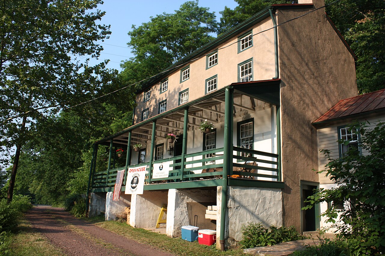
The restored Lock 60 lock chamber and Lockhouse on the Schuylkill Canal at Mont Clare, Pennsylvania
Schuylkill Canal Park · Mont Clare, Pennsylvania

the paddleboarder’s Lock 60 Loop

Four miles of river and canal that close into a perfect circle — downstream on the Schuylkill, home through the last working lock of the 1820s Navigation. No shuttle. No second car. You finish where you floated in.

4.2 mitotal loop
1½–2 hrseasy pace
Easymoving water, one carry
Zeroshuttle logistics
scroll
Why this loop

Rivers usually make you come back for your car.
This one doesn’t.

Below the stone arches of Lock 60, the Schuylkill River and the Oakes Reach canal run side by side — close enough that a five-hundred-foot grassy trail stitches them together into a closed loop. You drift 2.1 miles with the current, step out at a wooden sign, carry your board through the trees, and let still, shaded water carry you all the way back.

The canal is one of only two stretches of the Schuylkill Navigation still holding water, and Lock 60 is the only lock on the whole system that still operates. Very few loops in the mid-Atlantic put working 1820s engineering at both ends of your paddle.

Built1820s — Schuylkill Navigation, chartered 1815
The lockLast operating lock on the entire system
The waterOakes Reach — one of two still-watered canal sections
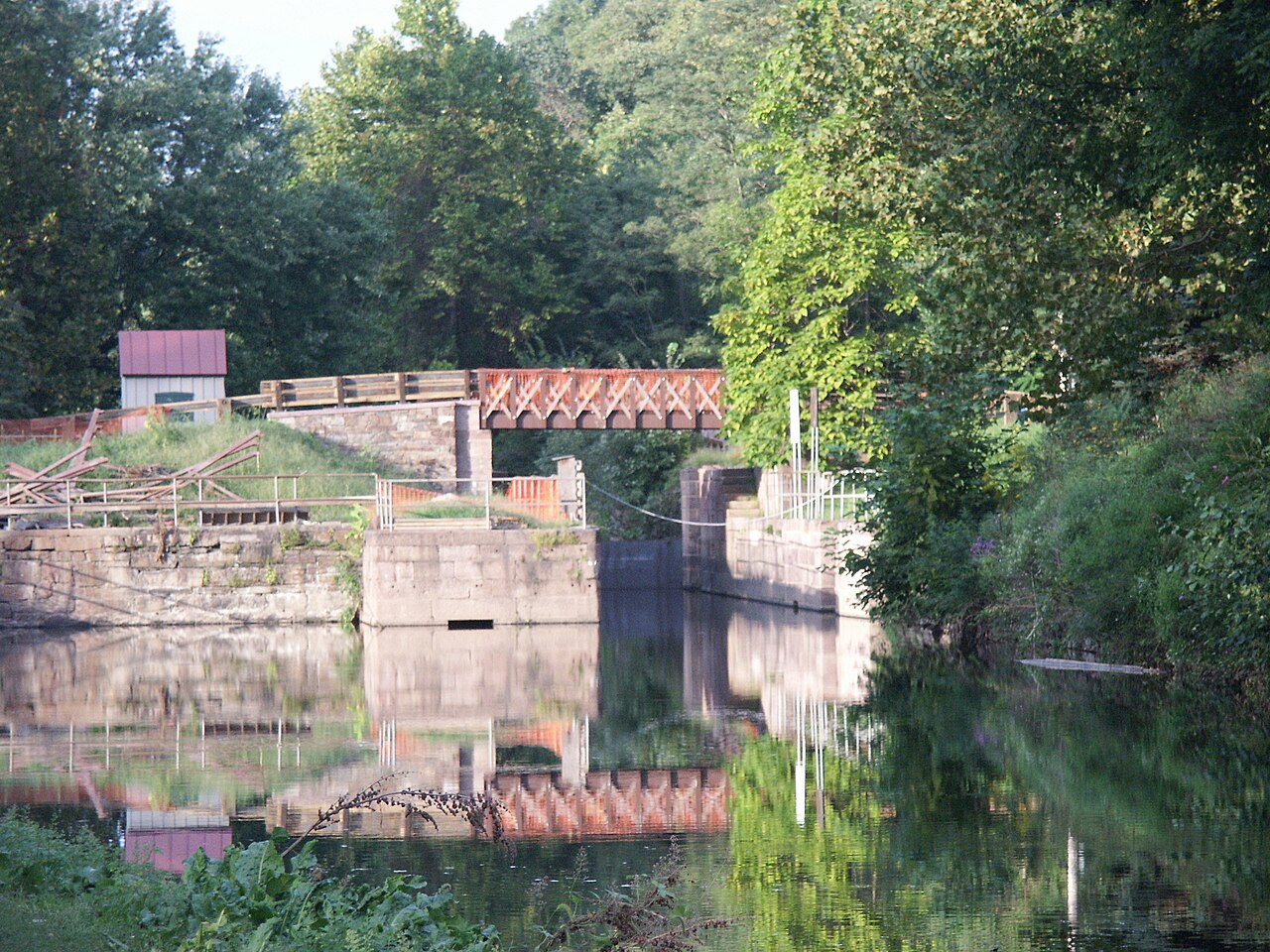
Lock 60's stone chamber, wooden gates and the Lockhouse with its red roof in summer
The lock chamber at Lock 60J Clear · CC BY-SA
The stone Lock Tender's House at Lock 60, with its green-trimmed porch
The Lock Tender’s HouseMCPC · CC BY-SA
The shape of it

One river down,
one canal home.

1 2 3 4 SCHUYLKILL RIVER · 2.1 MI ↓ OAKES REACH CANAL · 2.0 MI ↑ LOCK 60 · LAUNCH & FINISH PORTAGE TRAIL · 0.1 MI power lines above the take-out → N
1Launch — gravel ramp below the Lock 60 spillway, straight onto the river.
2River — 2.1 miles downstream with the current, under the bridges.
3Portage — take out river-left at the power lines; carry ~0.1 mi to the canal dock.
4Canal — 2.0 miles of still, shaded water back to the lock.
The route · four moves

Easy to follow,
easier to love.

Four numbered moves. If you can find the power lines, you can’t get lost.

01

The Launch at Lock 60

Park at Schuylkill Canal Park, 400 Towpath Road, Mont Clare — the lot sits beside the lock. Walk your board a short way to the gravel boat ramp, which is tucked just below the Lock 60 spillway and puts you directly onto the open Schuylkill River.

The river is wide here and framed by dense tree lines, and the day’s only gravity is on your side: from your very first stroke you’ll be heading downstream.

Put-in

Gravel ramp below the spillway, a short walk from the lot.

Water

Open river; the current sets the tone — and it’s at your back.
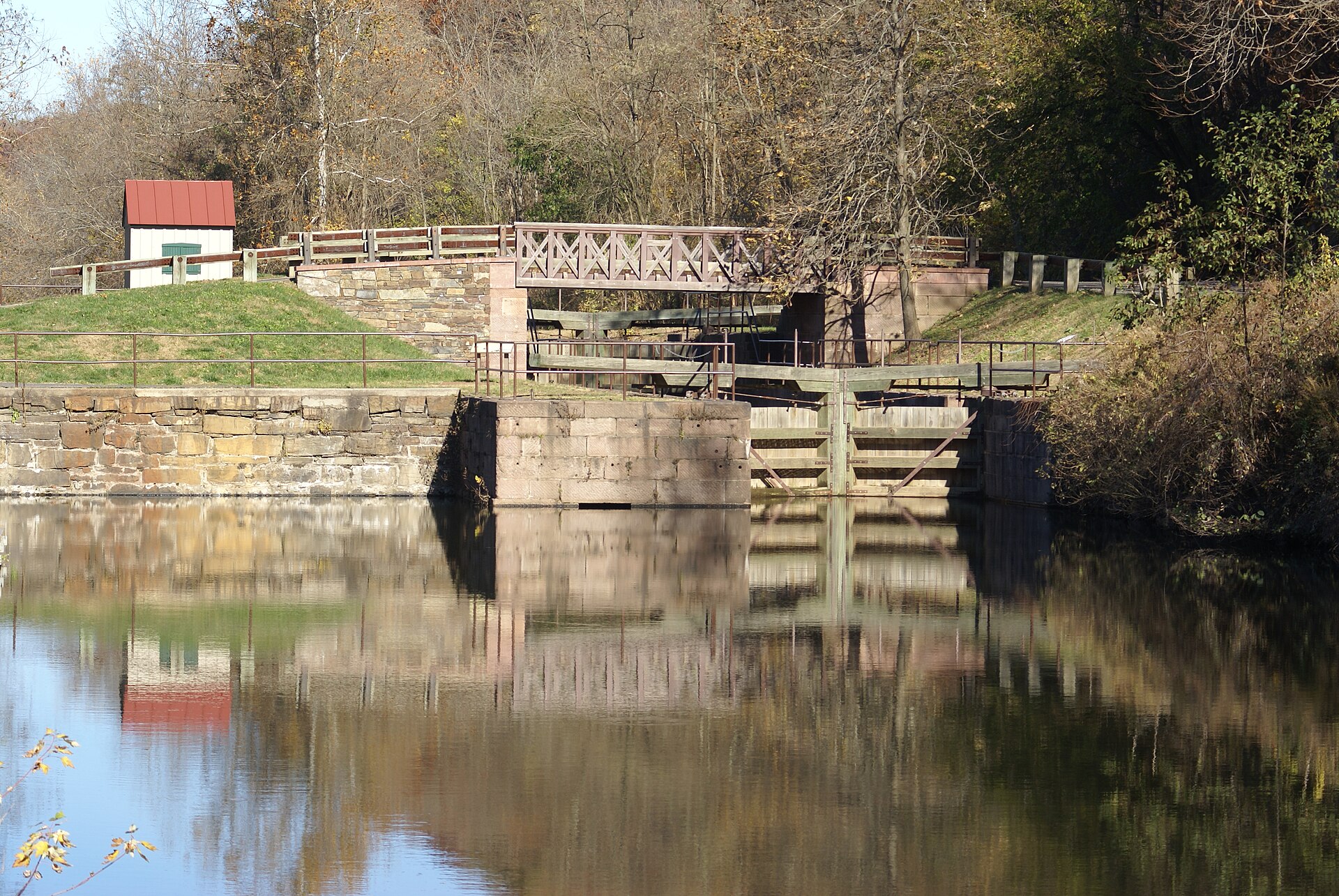
Milestone — you’re floating below a working 1820s lock
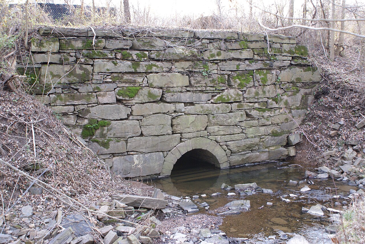
Weathered 1820s stone masonry of the Lock 60 spillway arch over rushing water
Stone masonry at Lock 60, beside the launchJ Clear · CC BY-SA
02

The River Paddle & the Bridges

Settle in and let the Schuylkill do the work. For roughly 2.1 miles you’ll glide downstream past hawk perches and heron shallows, and beneath handsome old stone railroad and highway bridges that span the channel.

One caution: when the river runs low — late summer especially — submerged rocks sit just under the surface. As you approach the end of this stretch, set up your exit by holding the center of the channel, then easing left.

Distance

2.1 miles, downstream with the current.

Watch for

Submerged rocks in low water — check the gauge before you go.

Navigation

Center of the river, then favor the left as the take-out nears.

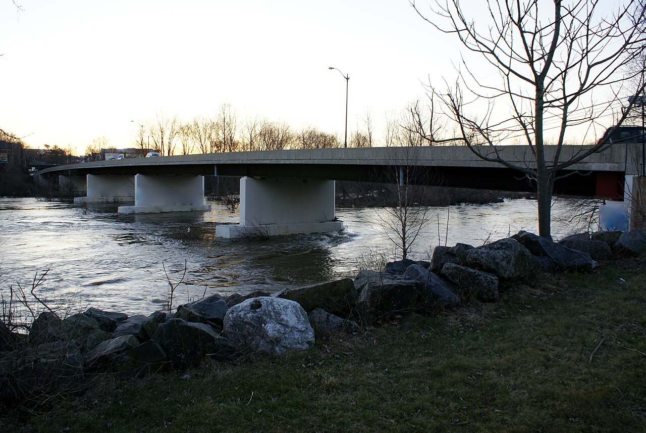
A multi-span bridge crossing the Schuylkill River near Mont Clare in late autumn
Bridges cross the Schuylkill near Mont ClareJ Clear · CC BY-SA
03

The Portage Crossing

The skyline tells you when it’s time: massive overhead power lines cross the river near the 2.1-mile mark. On river left, near the tip of the large island, a wooden “Portage to Canal” sign marks the take-out — pull your board onto the grassy bank.

A portage is simply carrying your craft over land. Hoist the board and walk roughly 0.1 miles — about 500 feet — along a flat, grassy trail through the woods to a low wooden dock on the canal. Five minutes, tops.

Take-out

Signed “Portage Trail,” river left, directly under the power lines.

The carry

~0.1 mile, flat and grassy. A sling or cart works if you’d rather wheel it.

Milestone — you just crossed from watershed to stillwater
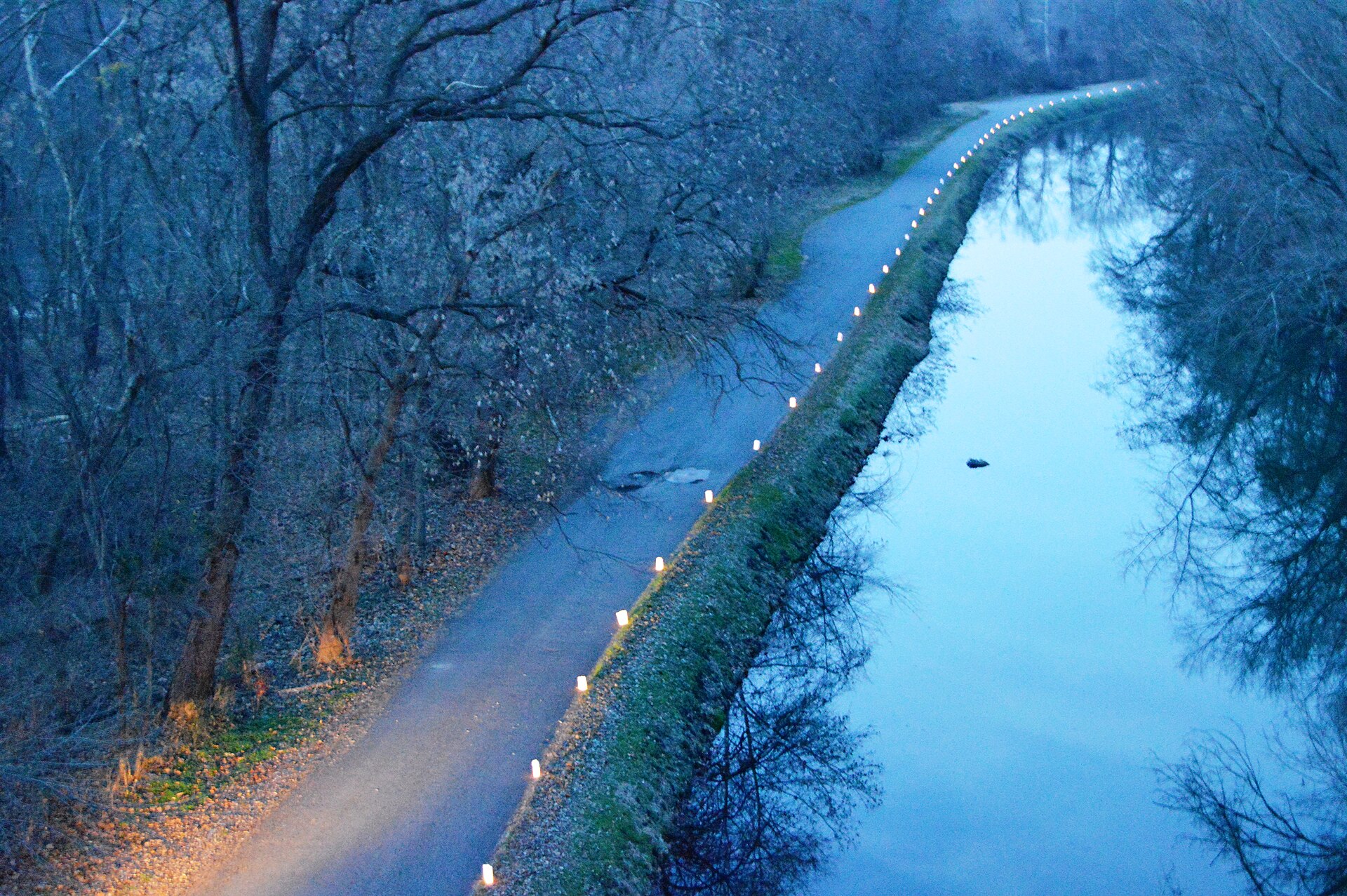
The narrow, tree-lined Oakes Reach canal beside its towpath near the Oaks viaduct
The Oakes Reach near the viaduct at OaksJ Clear · CC BY-SA
04

The Canal Return

Everything changes. The portage ends at a low wooden dock — slide back in and point upstream. The Oakes Reach is the canal at its most cinematic: narrow, dead straight, and completely still, roofed by overhanging trees that block the wind.

The canal self-levels, so there’s essentially no current to fight — you’ll glide 2 miles back regardless of what the river is doing. Watch for submerged logs and silty shallows along the banks; keep toward the middle and your fin will thank you.

The finish is unmistakable: the restored Lock 60 chamber and stone Lockhouse slide past on your right, and the take-out sits steps from the parking lot.

Water

Still and self-leveling — upstream in name only.

Depth

Silt and logs hug the banks — favor mid-channel to protect your fin.

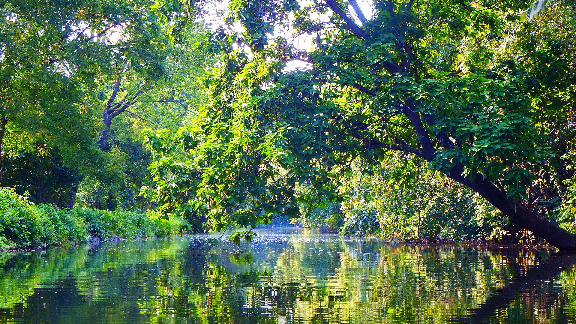
The narrow Oakes Reach canal in full summer leaf, the water mirroring the overhanging trees
Full shade and glass water on the canalRebecaluvsbirds · CC BY-SA
The Lock Tender's House at the finish of the loop
Your finish line, the LockhouseMCPC · CC BY-SA
Before you go

Five minutes of prep,
two hours of bliss.

Pennsylvania law rides with you

On a paddleboard, the Commonwealth treats you like any other vessel: you must carry a wearable, USCG-approved life jacket and a whistle (sound-producing device) on board. A leash isn’t required, but on a river it’s the smartest thing you’ll wear all day.

Check the gauge the morning of

The USGS Pottstown gauge (#01472000) tells you what the river half of the loop looks like.

Below 1.1 ft — scrape city, rocks everywhereskip it
Around 3.0 ft — the sweet spotgo

And here’s the loop’s insurance policy: the canal self-levels, so even when the river is uncooperative, the canal half stays paddleable.

Open the live gauge

Mind your fin

The canal gathers submerged logs and silt along its banks. A long, rigid tracking fin will find every one of them — stay toward the middle of the channel on the way home.

Timing & pacing

The park is open daylight hours. Mornings give you glassy water, easy parking, and the wildlife shift change. Budget 1½–2 hours including the carry — longer if the towpath lures you into wandering.

After the paddle

Fitzwater Station, a canalside tavern in Port Providence, sits minutes from the take-out — a fitting reward lap after still water. Or just sit on the lock wall and watch the river go by.

The Lock 60 chamber and Lockhouse on the Schuylkill Canal in summer
Go find out
Down with the river, home on the canal.

Four miles, one carry, and a finish line you’ve already parked at.